September 12-16 : Cumberland River OutingPosted on January 3, 2015 by Ray Alley
Group Leaders / Additional Information:
The group leader is Joel Dean.
This outing is in Kentucky current Non-Resident License fees are 1 day fishing $10, 7 day fishing $30, 15 day fishing, $40 Annual $50 and all will need the $10 Trout permit Kentucky Fishing License.
Suggested Flies in September – Fly anglers should try beadhead pheasant nymphs or smaller midge patterns for summer rainbows. Browns hit larger olive, brown or black wooly buggers, shad-colored streamers and crayfish patterns fished near woody cover. Both species go for the Chicago fly, a generalist beadhead nymph that resembles a sparser version of a black Mohair leech. *This is a general listing of flies used on this river. As time gets closer to the outing we’ll offer a more specific listing according to updated fishing reports.
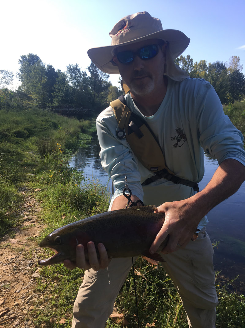
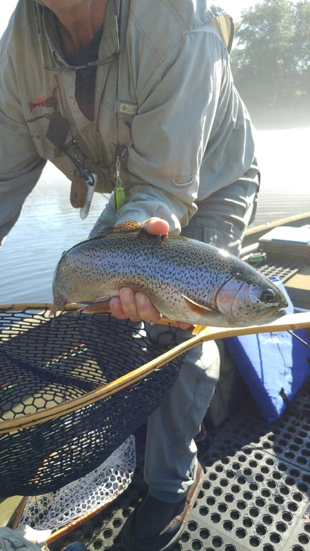
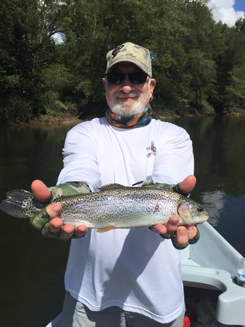
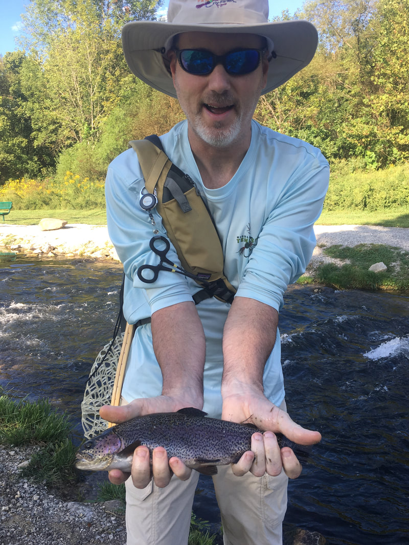
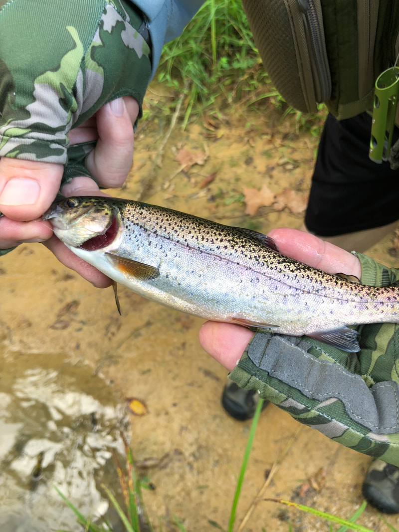
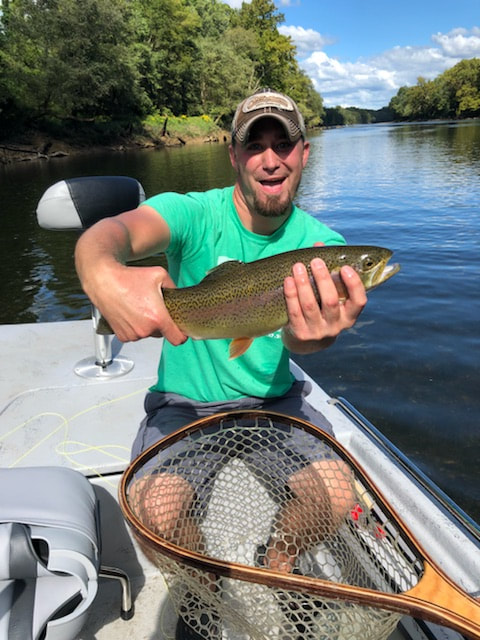
The Cumberland River below Lake Cumberland is one of the premier trout fishing destinations in the southeastern United States. Home to the state record 21-pound brown trout and a 14-pound, 6-ounce rainbow trout, the 75-mile Kentucky portion of the Cumberland tailwater rivals the White River of Arkansas and the Caney Fork in Tennessee.
Trophy brown trout swim in the Cumberland River, as do bountiful numbers of rainbow trout. The river is also home to walleye, sauger and oversized striped bass. This is also the home of the Wolf Creek Hatchery so you know the river will be loaded with fish.
The first 16 miles of water from Lake Cumberland’s Wolf Creek Dam to Winfrey’s Ferry is a great place for canoeists, kayakers and owners of small johnboats to float and fish. A few mildly challenging shoals exist in this stretch, perfect water for beginning canoeists and kayakers to hone their skills. Now that they have completed the work on the dam wade fishing is ideal right below the dam.
Fly anglers should try beadhead pheasant nymphs or smaller midge patterns for summer rainbows. Browns hit larger olive, brown or black wooly buggers, shad-colored streamers and crayfish patterns fished near woody cover. Both species go for the Chicago fly, a generalist beadhead nymph that resembles a sparser version of a black Mohair leech.
STATE: Kentucky
Downloads:
Lodging Information:
Driving Directions:
~Merge onto I-65 N toward Louisville. 5.5 mi
~Keep left to take I-65 N toward Louisville (Crossing into Kentucky). 69.2 mi
~Take the Louie B Nunn Cumberland Parkway exit, EXIT 43, toward Glasgow/Somerset.0.4 mi
~Merge onto Cumberland Pkwy E. 62.2 mi
~Take the US-127 exit toward Jamestown/Russell Springs 0.2 mi
~Keep left at the fork in the ramp. 0.02 mi
~Turn left onto S Highway 127/US-127 S. Continue to follow US-127 S. 3.6 mi
~Turn right onto S Highway 127/US-127 S.S Highway 127 is 0.2 miles past Gaskin Dr
If you reach Murphy Ln you’ve gone about 0.3 miles too far 11.6 mi
Maps:
Group Leaders / Additional Information:
The group leader is Joel Dean.
This outing is in Kentucky current Non-Resident License fees are 1 day fishing $10, 7 day fishing $30, 15 day fishing, $40 Annual $50 and all will need the $10 Trout permit Kentucky Fishing License.
Suggested Flies in September – Fly anglers should try beadhead pheasant nymphs or smaller midge patterns for summer rainbows. Browns hit larger olive, brown or black wooly buggers, shad-colored streamers and crayfish patterns fished near woody cover. Both species go for the Chicago fly, a generalist beadhead nymph that resembles a sparser version of a black Mohair leech. *This is a general listing of flies used on this river. As time gets closer to the outing we’ll offer a more specific listing according to updated fishing reports.
The Cumberland River below Lake Cumberland is one of the premier trout fishing destinations in the southeastern United States. Home to the state record 21-pound brown trout and a 14-pound, 6-ounce rainbow trout, the 75-mile Kentucky portion of the Cumberland tailwater rivals the White River of Arkansas and the Caney Fork in Tennessee.
Trophy brown trout swim in the Cumberland River, as do bountiful numbers of rainbow trout. The river is also home to walleye, sauger and oversized striped bass. This is also the home of the Wolf Creek Hatchery so you know the river will be loaded with fish.
The first 16 miles of water from Lake Cumberland’s Wolf Creek Dam to Winfrey’s Ferry is a great place for canoeists, kayakers and owners of small johnboats to float and fish. A few mildly challenging shoals exist in this stretch, perfect water for beginning canoeists and kayakers to hone their skills. Now that they have completed the work on the dam wade fishing is ideal right below the dam.
Fly anglers should try beadhead pheasant nymphs or smaller midge patterns for summer rainbows. Browns hit larger olive, brown or black wooly buggers, shad-colored streamers and crayfish patterns fished near woody cover. Both species go for the Chicago fly, a generalist beadhead nymph that resembles a sparser version of a black Mohair leech.
STATE: Kentucky
Downloads:
Lodging Information:
Driving Directions:
~Merge onto I-65 N toward Louisville. 5.5 mi
~Keep left to take I-65 N toward Louisville (Crossing into Kentucky). 69.2 mi
~Take the Louie B Nunn Cumberland Parkway exit, EXIT 43, toward Glasgow/Somerset.0.4 mi
~Merge onto Cumberland Pkwy E. 62.2 mi
~Take the US-127 exit toward Jamestown/Russell Springs 0.2 mi
~Keep left at the fork in the ramp. 0.02 mi
~Turn left onto S Highway 127/US-127 S. Continue to follow US-127 S. 3.6 mi
~Turn right onto S Highway 127/US-127 S.S Highway 127 is 0.2 miles past Gaskin Dr
If you reach Murphy Ln you’ve gone about 0.3 miles too far 11.6 mi
Maps: